Advanced Course
PostGIS
Learn how to work with maps in SQL
4.82
1,058 learners enrolled
Free trial Yes
Certificate of completion Yes
Time to complete 12 h
Coding challenges 148
Skills you will gain
- Learn what spatial databases are
- Learn the basics of working with PostGIS, a spatial extension of PostgreSQL
- Learn how geographical data is stored in a database
- Learn about the basic geographical functions available in PostGIS
- Learn how to write SQL queries using geographical functions
Last reviews
Description
Description
Did you know that databases can store geographical data? With the help of spatial extensions, a database can store the locations of stores, ATMs, hotels, streets, districts, and other points of interest. Moreover, you can use SQL queries to process this information.
In this course, you'll learn about PostGIS, a spatial extension of the PostgreSQL database. You will learn how PostGIS stores geographical data and how its basic geographical functions can be used in simple and complex SQL queries.
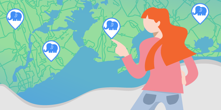
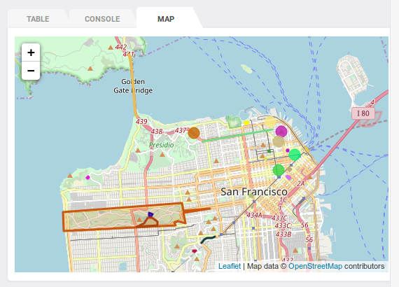
To make your learning process more interesting, we'll be working with both real and not-so-real places in San Francisco and the United States. Additionally, we've prepared a special surprise—some exercises will even let you see the results of your queries drawn on a real world map!
Are you ready? Let's jump right in!
Requirements
- A web browser
- Knowledge of basic SQL, including the JOIN and GROUP BY clauses
Objectives
- Learn what spatial databases are
- Learn the basics of working with PostGIS, a spatial extension of PostgreSQL
- Learn how geographical data is stored in a database
- Learn about the basic geographical functions available in PostGIS
- Learn how to write SQL queries using geographical functions
Who Should Take This Course?
- Students taking classes on relational databases
- Anyone who wants to learn how to use spatial databases
- Developers working with geographical data

Table of contents
Course progress 0%
Exercises completed 0/148
-
Introductory Quiz
0/8Not sure if you're ready to take this course? Take this preliminary quiz to find out.
-
Introduction to spatial databases and PostGIS
0/6We're getting started with PostGIS. You'll learn the basic terminology related to spatial databases.
-
Geometry basics
0/38That's where the real fun begins. You'll get to know points, linestrings and polygons.
-
Relationships between geometries
0/29How can points, linestrings and polygons relate to each other? Let's find out in this part of the course.
-
Additional geometry features
0/19In this part, we'll present further spatial functions and introduce collections.
-
Geography
0/18Finally, it's time to get to know geography column type.
-
Practice
0/18Do you think you remember everything from our course? It's time to practice before the final quiz.
-
Final quiz
0/12The time has come to test your knowledge in the final PostGIS quiz.

Get the Certificate of Competency in SQL
This certificate will confirm your practical SQL problem-solving skills